I’ve downloaded Google Earth before but never explored it too much; after seeing that you could build a 3D model in Google SketchUp and upload it to Google Earth (go to the 3D Warehouse for tons of really cool examples), I got curious about it again. So what does Google Earth do? According to the website:
Google Earth lets you fly anywhere on Earth to view satellite imagery, maps, terrain, 3D buildings, from galaxies in outer space to the canyons of the ocean. You can explore rich geographical content, save your toured places, and share with others.
Take a tour of some of the awesome features of Google Earth here. You can go back in history (a few years back or several decades, in some cases) to see what the earth used to look like, or explore the ocean.
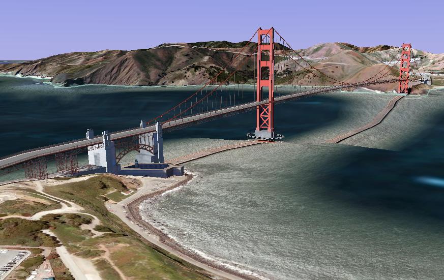
So, how to use this in teaching? Gabriel M. Valdes, in the paper “The Use of Google Earth in the Teaching of ESOL, Foreign and Dual Languages,” gives some ideas specific to language teaching, including: having students show in Google Earth where they are from; direction-giving activities; and giving tours of world cities (some, like New York and San Francisco, have 3D models of downtown buildings). There’s a nice record feature in Google Earth, so you can record your travels. Also, users have tagged several locations with beautiful panoramic photos and live webcams.
Here’s a video created by Ravi Purushotma with more ideas for using Google Earth – the accompanying website for the game he describes at the end is here. Finally, from the Juicy Geography website, many Google Earth lesson plans – not language specific.
What ideas do you have for using Google Earth?
Thanks, Edie, for this comprehensive blog on Google Earth. The links are marvellous and lead to a goldmine of teaching material and teaching ideas. I particularly liked the link to the Juicy Geography lesson plans. The Montserrat lesson plan, for instance, looks like an idea for both EAPP and IPS students. Students react to the events on Montserrat whilst in role as a crisis management team based at the Montserrat Volcano Observatory. Ss describe the events that led to a large-scale evacuation and gain insight into crisis decision making processes.
You also mentioned an activity in which Ss show on Google Earth where they’re from. I think this activity could be easily linked to political or economic topics in an ESL or EAPP class. Let’s say a Swiss student “walks” you through Bahnhofstrasse in Zurich, Switzerland. That’s where all the large banks are. This could be connected with a topic like the banking secrecy, tax disputes between tax havens and high-tax countries, double-tax agreements, OECD’s white and grey list (and the former black list), etc. Thanks for sharing with us, Edie.
Natalie,
Thanks for the comment! I also ran into another resource for using Google Earth in teaching:
“Twenty-Three Interesting Ways and Tips to use GE in the classroom”
http://docs.google.com/Present?docid=dhn2vcv5_175fp5qg9d3&pli=1&skipauth=true
Enjoy!
-Edie